




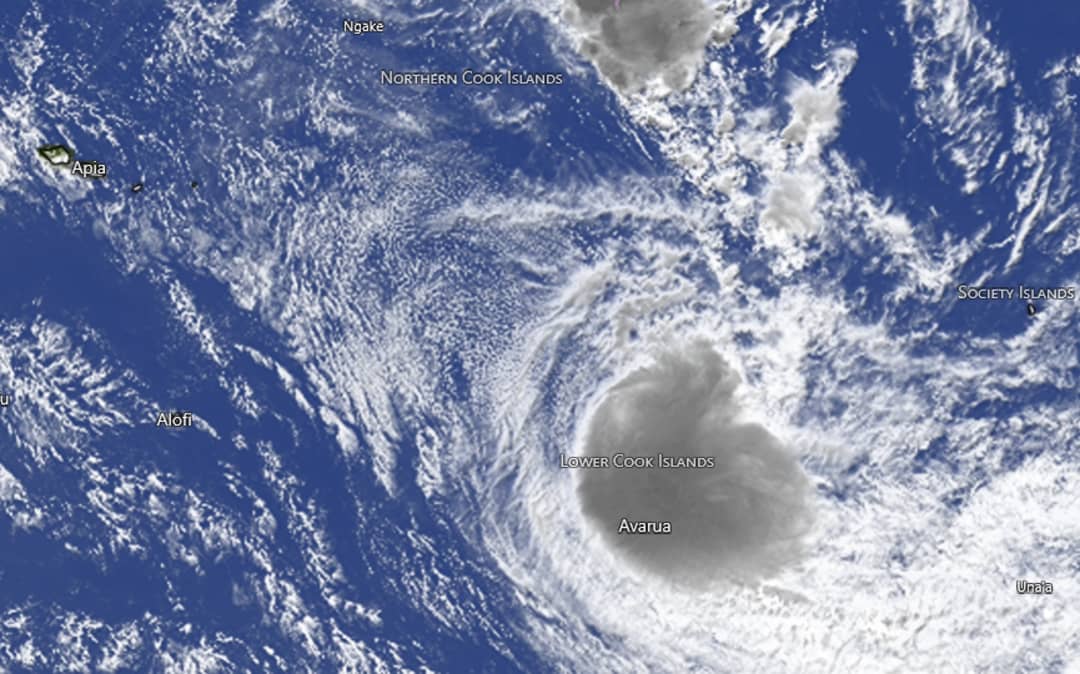
Aitutaki saw minor damage overnight as Tropical Cyclone Wati looks to bear down later today.
The category 2 cyclone is forecast to pass over Aitutaki on Sunday local time, tracking over Mauke and Mangaia.
The Cook Islands Meterological Service (CIMS) said this morning that storm force winds of 54 to 76 knots (100 to 141 kmh) were likely, as well as rain – heavy at times with thunderstorms – and moderate to damaging heavy swells.
There is also a risk of coastal inundation, especially during high tides.
It said winds of between 78 and 113 kilometres an hour were blowing on Aitutaki as of 8am Sunday local time. Relatively minor winds of 57kmh were recorded on Rarotonga.
Aitutaki mayor Nick Henry told RNZ Pacific the island had fared well so far, given the circumstances.
“A few homes lost power because debris fell on the overhead cables, and we’ve had a report of a coconut tree fall onto the roof of a home,” he said.
“Fortunately, we’ve got most of our power lines underground along the island, but we’ve got two cases so far where power has been out, and we’ve restored one.”
He said the community is bracing for the worst in the coming hours.
“It feels like she’s gonna come directly over the top of us.
“We have regular patrols going around clearing the roadways … in case we need an emergency to get them to the hospital.”
Wati is expected to be about 40km south-southwest of Aitutaki and 170km north-northeast of Mauke by 5pm Sunday local time.
A storm warning is in force for Aitutaki, a gale warning for Mauke and Mangaia, and a strong wind warning for the rest of Pa Enua Tonga.