





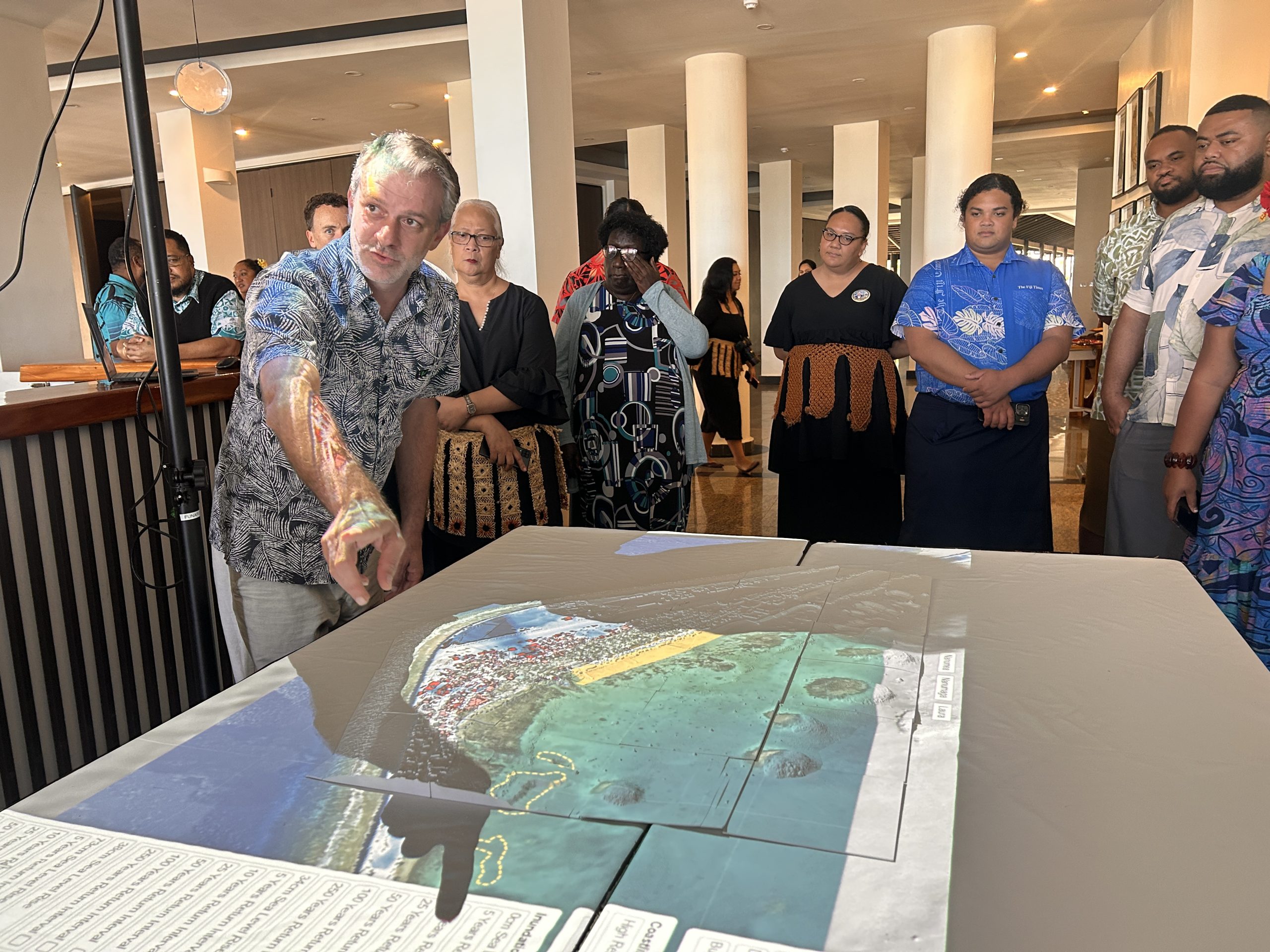
By Elenoa Masi
The United Nations has suggested a pathway to manage global warming, which is now predicted to breach the 1.5 degrees target in a few years but it’s too late for the Pacific, the seas will still flood our homes.
The United Nations Environment Programme (UNEP) released its Limiting Overshoot report on 02 September, the first time it admits that the world will exceed the 1.5°C ceiling set in the COP 21 agreement in Paris ten years ago.
For the Pacific, that admission lands hard.
“This is alarming news for Pacific Island countries, which are amongst the most exposed to the consequences of overshooting over 1.5 degree,” Secretariat of the Pacific Community Team Leader Ocean Prediction and Monitoring, Herve Damlamian said at a media masterclass in Tonga ahead of the Pacific Meteorological Council meeting this week.
“Reducing emissions is essential, but it will not stop sea-level rise. Some rise is already locked in and will continue for centuries. For Pacific Island countries, adaptation is no longer optional. Every fraction of a degree of warming avoided matters because it slows sea-level rise and reduces how much future generations will face,” he added.
The UNEP report lists five points to understand about the “overshoot”. Firstly, the pathway is a curve with four stages- exceeding the 1.5 degrees Celsius, peaking ideally under 2 degrees Celsius before it declines and stabilises at 1.5 degrees.
“We have to make overshoot above 1.5 degrees as small and short as possible,” UN Secretary-General António Guterres said at the report’s release.
Secondly, going above 1.5°C must not mean abandoning it.
“Decisions, science and, most importantly, mindsets need to shift to seeing 1.5°C as a goal we’ll be approaching from above rather than below,” says Mirey Atallah, Chief of UNEP’s Adaptation and Resilience Branch and coordinator of the report.
“This is the starting point for realising just how imperative it is to massively reduce emissions and minimise the severity of the overshoot pathway we’re on.”
Thirdly, adaptation and mitigation must move together and should no longer be in “separate buckets” of action. If countries adapt now, they can continue to cut emissions, but if the cuts fall short, they probably will not be able to adapt to future conditions.
Fourthly, carbon removal is necessary but not a silver bullet. Carbon removal — pulling carbon dioxide back out of the air, by planting trees or by machine — is in every pathway the report models, but it delivers only a few tenths of a degree this century and is “not a substitute for rapid emission reduction”.
Lastly, the report says that it doesn’t know what the world looks like in the future as sea level rise, cryosphere melt, extinctions, displacement, food and water systems all unfold at different speeds, so the timing and scale are open questions.
“The climate system behaves like an enormous boiler. Cutting emissions turns down the flame; reaching net-zero stops adding to the heating. But the heat already accumulated does not disappear,” says Atallah.
For the Pacific, the problem starts earlier than any of this.
Most global assessments of Pacific vulnerability to sea level rise are based on elevation data collected by satellites, which Damlamian says are incorrect.
“While satellites have revolutionised earth observation, they remain limited in providing accurate land elevation, especially in densely vegetated areas commonly found in the tropics. In many cases, they measure the tops of trees rather than the ground beneath them, resulting in large elevation errors.,” Damlamian said.
For example, on the data the international community uses, roughly 70 percent of Kiribati’s and 60 percent of Tuvalu’s populations live above five metres. Tuvalu’s actual average land elevation is 1.5 metres.
“There is a very wrong perception internationally about the vulnerability of Pacific Island communities to sea level rise,” Damlamian told the masterclass. “How can science support a community adapting to sea level rise if the data can’t tell us if the community is living with its feet in the water or on a five-meter hill?”
The mistake is bigger than the problem. The region is planning for 50 centimetres to a metre of sea level rise on maps which are three to five metres out. While overshoot didn’t cause that error, it has made it urgent.
But a fix exists, Damlamian offers.
Airborne LiDAR (laser pulses fired from an aircraft that measure the distance to the actual ground) gives accurate elevation but it is expensive, perhaps why not most of the Pacific has it.
Cook Islands has invested in it while Tonga flew its latest survey in April completing the mapping of all its low-lying islands. A paper before the Pacific Meteorological Council meeting this week asks the region to recognise the value of LiDAR for early warning of sea level rise.
Tuvalu has spent about US$2 million on LiDAR across its nine islands and has a better picture of its risks. A coastal inundation event that happens once a century today will happen once a decade by 2050 and more than once every five years by 2100.
The estimated cost from coastal flooding to government (buildings, roads and infrastructure damage) each year rises from about US$15 million now to four times that by the end of this century, about 110 percent of Tuvalu’s GDP today.
Based on these numbers Tuvalu has spent more than US$50 million on adaptation- reclaimed land raised to a height recommended by engineers, and revised national building codes keeping in mind of the risks ahead.
Citing World Bank projections, Damlamian said coastal protection is the single largest cost facing Pacific countries this century.
Without accurate elevation behind the designs, he said, “there is a big risk that all the millions of dollars that are going to be invested into this will actually be thrown into the water.”