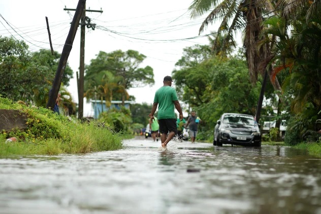
The development of an El Niño climate pattern in the Pacific Ocean this year is more and more likely, with dangerously high temperatures and extreme weather events expected, the World Meteorological Organisation (WMO) said on Wednesday.
El Niño and La Niña are natural phenomena which WMO describes as “major drivers of the Earth’s climate system”. After a three-year La Niña spell, which is associated with ocean cooling, the world faces an 80 per cent chance of an El Niño event developing between July and September.
Tell-tale signs are a warming of the ocean surface in the central and eastern tropical Pacific Ocean. With a slightly lesser likelihood, it may develop even earlier.
WMO Secretary-General Professor Petteri Taalas highlighted that, according to the agency’s State of the Global Climate reports, the eight years from 2015 to 2022 were the warmest on record. This was even though for three of those years, “we had a cooling La Niña […] and this acted as a temporary brake on global temperature increase”.
The WMO chief also warned that the development of El Niño will “most likely lead to a new spike in global heating and increase the chance of breaking temperature records”.
The “very powerful” El Niño event of 2014-2015, combined with greenhouse gas-induced atmosphere warming, resulted in 2016 being the warmest year on record. WMO said that the effects of the upcoming El Niño on global temperatures will likely be most apparent in 2024.
Professor Taalas insisted that the world “should prepare” for El Niño, which can trigger more extreme weather and climate events, including severe rainfall and drought, depending on the region.
He also stressed the crucial role of early warning services, which can help inform action and avoid the worst impacts of extreme weather. Today, some one hundred countries in the world do not have adequate weather services in place, according to WMO.
WMO says that there is no indication so far of the strength or duration of the upcoming potential El Niño, and that no two El Niño events are the same, which is why close monitoring will be needed to pinpoint the impacts.
Still, the agency indicates that El Niño events are “typically associated” with increased rainfall, which can cause flooding, in southern parts of South America, the southern United States, central Asia and the Horn of Africa.
While WMO notes it might bring “respite” from the long drought spell in the Horn of Africa, El Niño can also cause “severe droughts” over Australia, Indonesia, and parts of southern Asia.
Given the record number of people facing acute food insecurity, the UN Food and Agriculture Organisation (FAO) said last week that it is “scrutinizing the areas in the globe that are especially vulnerable to El Niño” and supporting countries on risk mitigation.
FAO pointed to Southern Africa, Central America and the Caribbean and parts of Asia as areas of particular concern, where many people are already food insecure and “key cropping seasons fall under the typical El Niño weather patterns of drier conditions”.
The agency also flagged that major cereal producing and exporting countries, such as Australia, Brazil and South Africa, are among the countries at risk of dry conditions, while on the other hand, excessive rainfall could affect cereal exporters Argentina, Turkey and the United States.
“Early warnings mean that we have to take early and anticipatory action, and we will support our Members in these efforts, to the full extent resources allow,” said Rein Paulsen, head of FAO’s Office for Emergencies and Resilience.
The agency stressed that together with other UN entities it has been working for years to develop anticipatory action plans for a number of countries and is ready to “act early, in coordination with governments and partners”, should the forecasts materialize.
Timely interventions which can be planned ahead include setting up community seed stores, assessing strategic food reserves and strengthening animal health surveillance.
SOURCE: UN NEWS CENTRE/PACNEWS


